KU researchers build interactive atlas that gathers Kansas wind energy regulations, information for all 105 counties

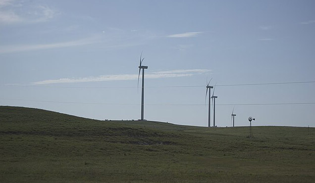
LAWRENCE — Kansas has some of the highest potential for wind energy of any state in the nation, but from one county to the next, regulations vary widely. Some counties encourage wind development, and some discourage it. Some counties have moratoriums preventing new wind development, while others have no guidelines at all.
University of Kansas researchers have built a GIS-powered atlas that gathers wind energy regulations for all 105 counties in an interactive site that local governments, developers, and anyone interested in wind energy can use.
The Kansas Energy Transition Atlas is an interactive, online site that allows people to find wind regulations in one place, learn more about wind policy in their neighboring counties, build their own maps and find detailed information including wind turbine blade length, how many transmission lines are in each county and much more.
The atlas is one of the first projects of its kind to gather such detailed information in one place and make it available for anyone interested.
“Kansas has a tremendous amount of wind potential. Some places have embraced it, some have not, and we’re looking to figure out why that is in each case,” said Donna Ginther, Roy A. Roberts Distinguished Professor of Economics and director of KU’s Institute for Policy & Social Research.
The Kansas Energy Transition Atlas is the result of a research team led by Ward Lyles, associate professor of public affairs & administration; Uma Outka, William R. Scott Professor of Law; and Ian Njuguna, graduate research assistant. The work, funded by a grant from the Sloan Foundation, was conducted in association with KU’s Institute for Policy & Social Research and Center for Compassionate & Sustainable Communities. It seeks to answer two primary questions: What is the local regulatory landscape for wind regulation in Kansas, and what factors explain the variation observed?
Research has shown that governments and wind energy developers alike cite zoning regulations as the top reason that projects either succeed or do not. The atlas presents a census of all 105 Kansas counties and links to the exact regulations in each county. An interactive map shows by color code which counties, for example, have zoning regulations regarding wind, which have development agreements, which have a moratorium on wind in place and which have no regulations at all. When users click on a given county, they can find even more information.
“If a county commission wants to create their own standards, for example, they can look and see what surrounding counties are doing. If they want additional information, they can click on the layers tool to find out about transmission lines or wind power density,” Njuguna said. “As a county, you want to know if you have those two vital resources.”
Users can check on wind farms’ proximity to the transmission lines, how many turbines are currently in existence and even learn exactly how far apart they are. The atlas also gives users the ability to draw their own maps within a given area highlighting information such as where turbines are in relation to infrastructure such as roads and bridges. Users also can print maps featuring the information they are most interested in.
The atlas uses 10 categories that counties use in wind regulations, including turbine height and noise restrictions, minimum distance from residences, tower density and minimum blade clearance and lot size. Some counties may use only one, others use several, and atlas users can find exact requirements for any county they are interested in.
“Counties can see exactly where they are and are not allowed to build wind developments because of restrictions like moratoriums,” Njuguna said. “You can use the tool to start mapping and building zones within your county that have high wind potential, new transmission lines and even show the voltage of those lines.”
The atlas will be part of a presentation at the Kansas Energy Policy Conference on Oct. 24 on KU’s Lawrence campus. The conference, presented by the Institute for Policy & Social Research, will explore the theme “Powering the Future of Kansas.” It is free to attend, and registration is open.
Future research
The atlas is part of a larger research effort that can potentially be expanded to include information on solar energy and be expanded to include information on other states as well. Lyles said research that has led to the atlas will also drive future publications detailing what counties have regulations that encourage or discourage wind development, what factors predict such regulations by geographical boundaries within Kansas and beyond, and even potentially point to interventions that can be taken at the state and local level to encourage green energy development.
The federal government has made a stated goal for the United States to get to 100% carbon-free energy by 2035. For that goal to have a chance of succeeding, understanding of what is driving successful transitions on state and local levels is necessary.
“We are not going to get to 100% clean energy if we can’t get it done in Kansas,” Lyles said. “We have a 26% success rate here, and understanding the regulations and factors including land use and other restrictions is vital to local governments, developers and the energy industry. We hope the Kansas Energy Transition Atlas can be a useful tool to anyone interested in green energy.”